Project : Mayfield Road - Cinder Track Link
Status : Proposal
From the Mayfield Road area (Anchorage Way, Pembroke Way, Shackleton Close, St Andrews Road estate) there is no simple way of accessing the Cinder Track for people using a mobility device, or using a bike. Several steep flights of steps are present, but there is a need to provide access for all modes of active travel.
Route
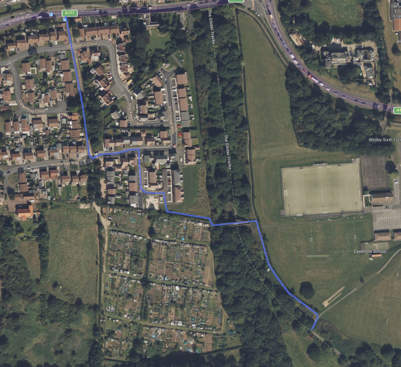
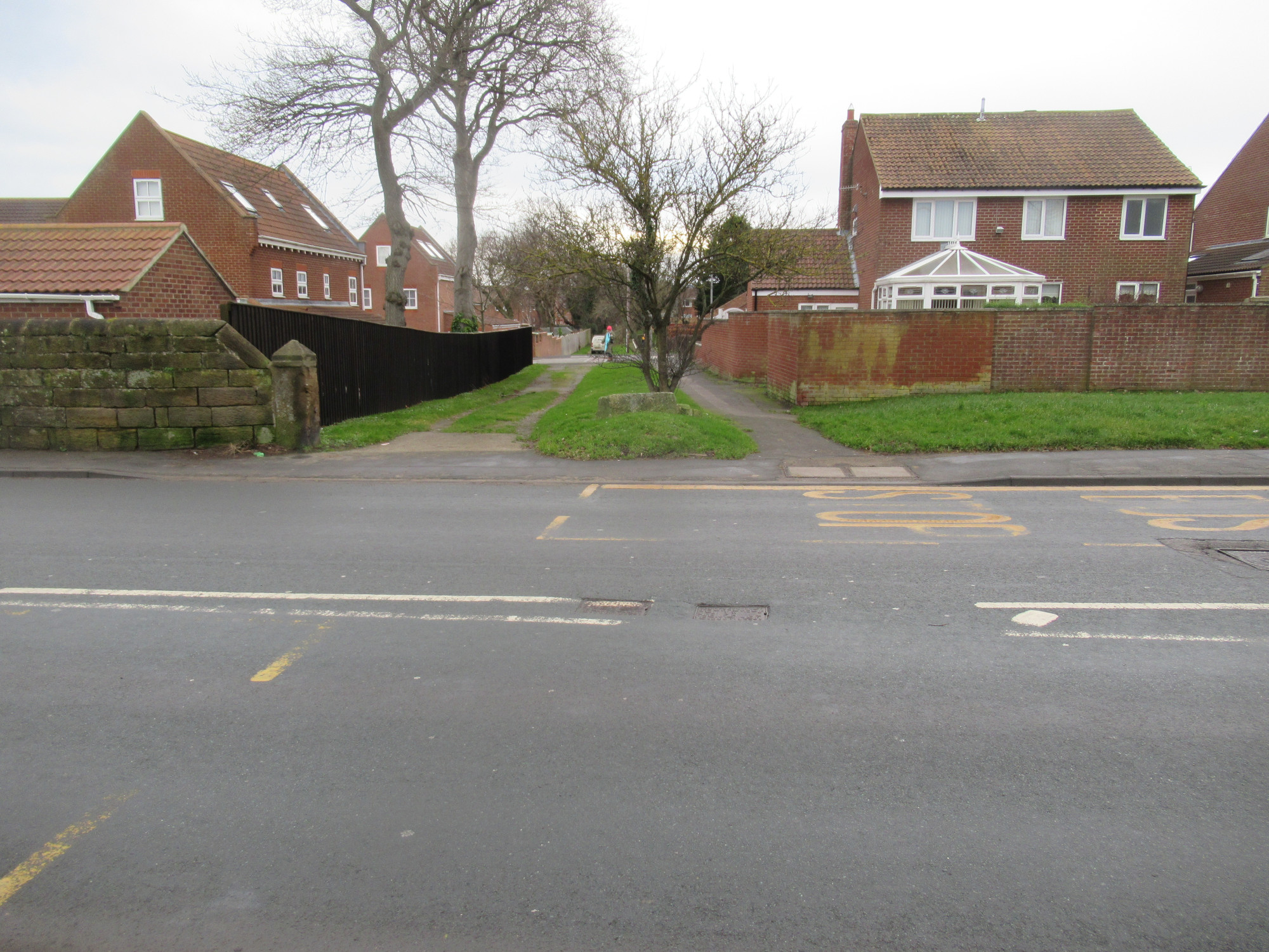
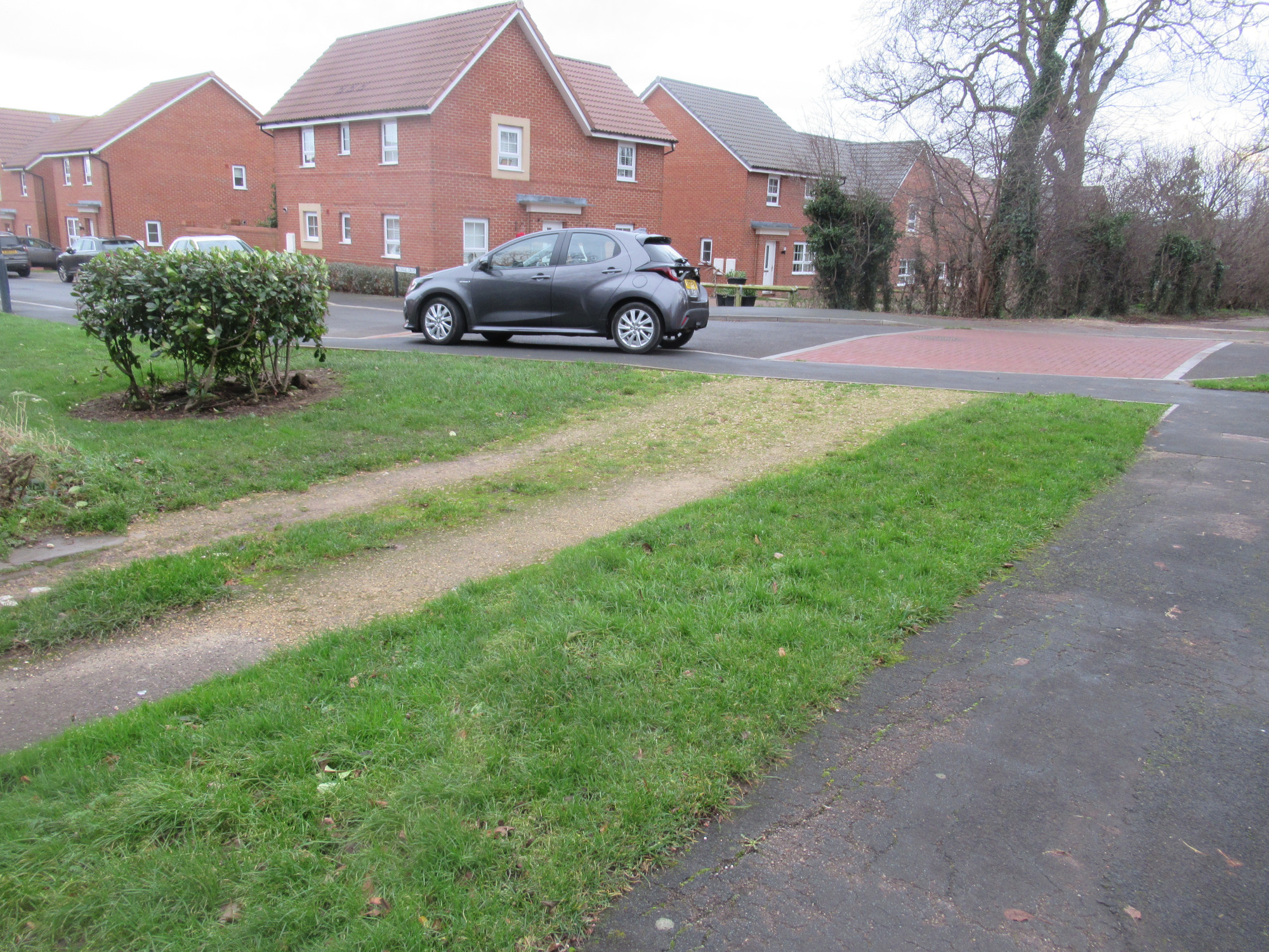
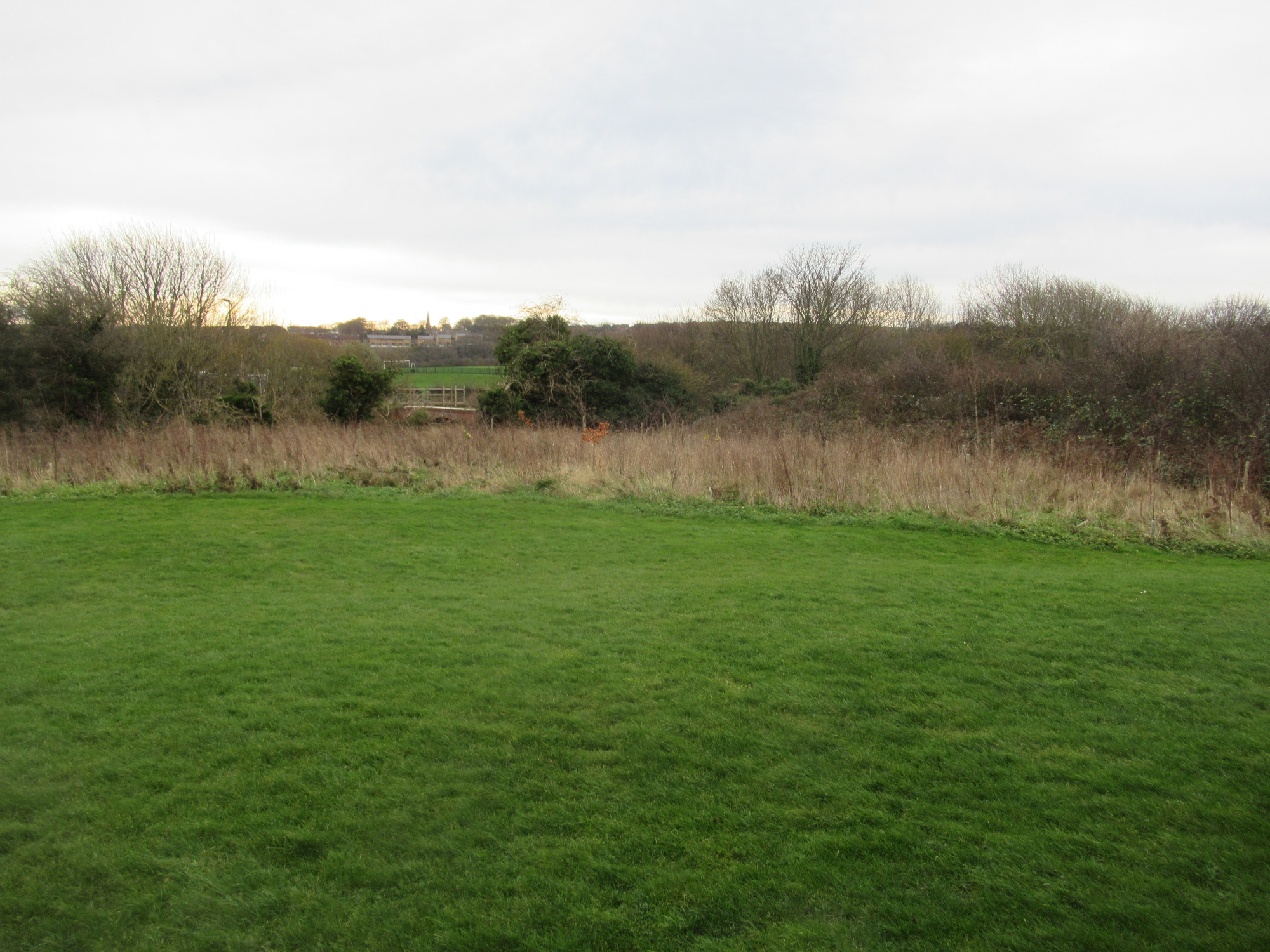
The markers on the map (above) highlight particular points where we have an image (below) showing the view from that position.
The Proposal
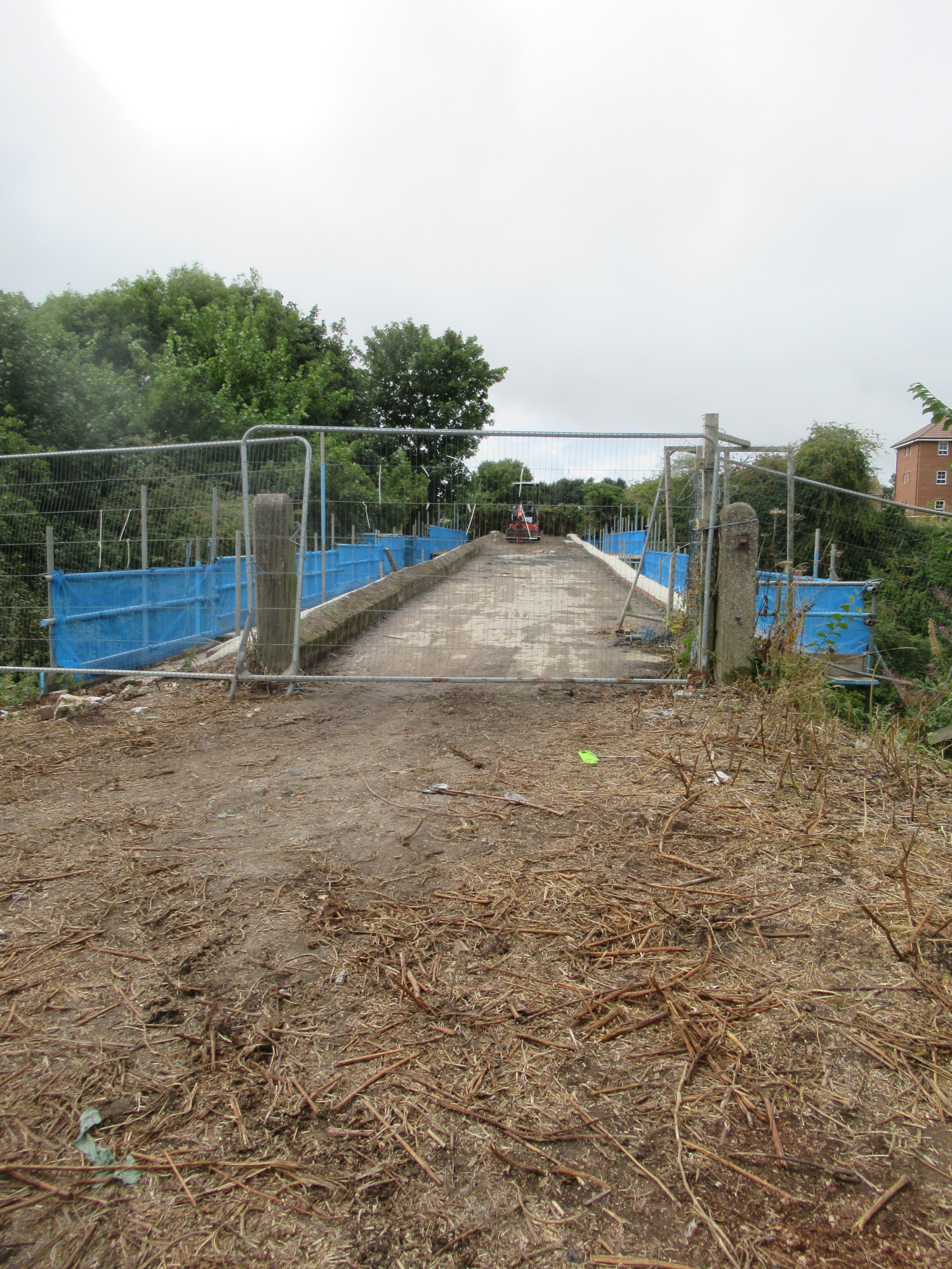
The proposal is to provide a path from Endurance Way across the currently disused bridge (former farm access bridge) and alongside the playing fields at Whitby School Airy Hill site, connecting to the Cinder Track.
Once complete this project would be suitable for : Walking, Cycling, Wheeling, Scooting.
Benefits of the Proposal
The proposed path would provide the following benefits.
- Essential connection to the Cinder Track for pedestrians, people using mobility devices, and people on bicycles from the south of Mayfield Road.
- Connection to Whitby School Airy Hill site from the south of Mayfield Road, meaning fewer pupils having to walk on narrow pavements alongside the busiest road in the town.
Quantified Benefits : There are the order of 300 dwellings located south of Mayfield Road with plans for a further 50, which equates on average (2.3 residents per dwelling) to around 800 residents directly impacted by the current lack of connectivity. This route will provide these residents with access to the Cinder Track irrespective of any disability, as well as safe access to Whitby School for those of a school age.
Cost of the Proposal
Preliminary Design : To be defined by NYC
Construction : Dependent on Preliminary Design
Viability
Land ownership is as follows
- The land off Shackleton Close, Anchorage Way is owned by Barratts David Wilson (their development “Prospect Rise” constructed between 2018-2022).
- The Prospect Hill allotments are owned by Barratts David Wilson.
- The bridge is owned by North Yorkshire Council.
- The path alongside the school playing field is owned by Whitby School, as is the right-of-way path across the playing field.
North Yorkshire Council performed work on the bridge in 2023 with scaffolding up for several weeks, with one of the side walls from the top of the bridge being removed. Visibility of whatever assessment took place at that time would help determine the viability of using this bridge.
In the planning for the 72 dwellings at Anchorage Way and Shackleton Close the committee report of 18 Jan 2018 of the planning application states “7.34 A suggestion that the bridge beyond the southern boundary of the site which leads to school fields at the Scoresby site of Caedmon College be repaired and made available for accessing the school – the bridge is not within the application site or ownership of the applicants although this may be something that can be explored along with improved access to the Cinder Track with the Section 106 monies for off-site open space subject to the Council’s Parks and Countryside Services determining how they would wish the contributions to be spent. County Highways has requested that details be submitted via a planning condition which would allow a future cycle link in this location.“. Additionally it says in Recommendation 14 “It is envisaged that the corridor of land to be set aside within the development site would link the eastern boundary of the site (south of plot 73) to the local highway network adjacent either plot 30 or plot 37 of the development“ (i.e at the south east end of the site). This proposal is totally in line with the planning suggestions.
Design
This work would be defined during the preliminary design phase, but hopefully the following gives some guidance.
The Cinder Track bridge connection path
The proposal would be made up of
- path of width 3m, from Endurance Way to the bridge, of length 82m;
- the bridge, of length 55m;
- path of width 3m, alongside Whitby School playing fields connecting to the Cinder Track, of length 155m.
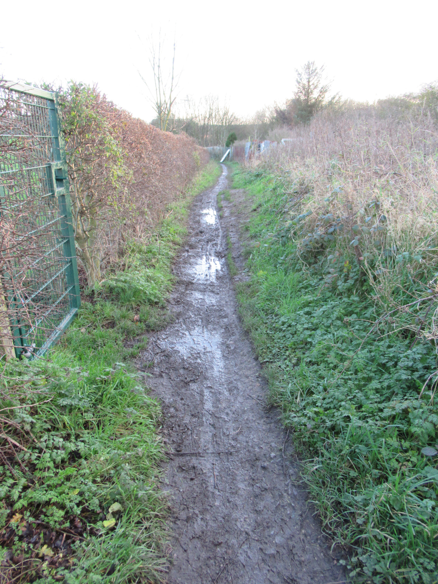
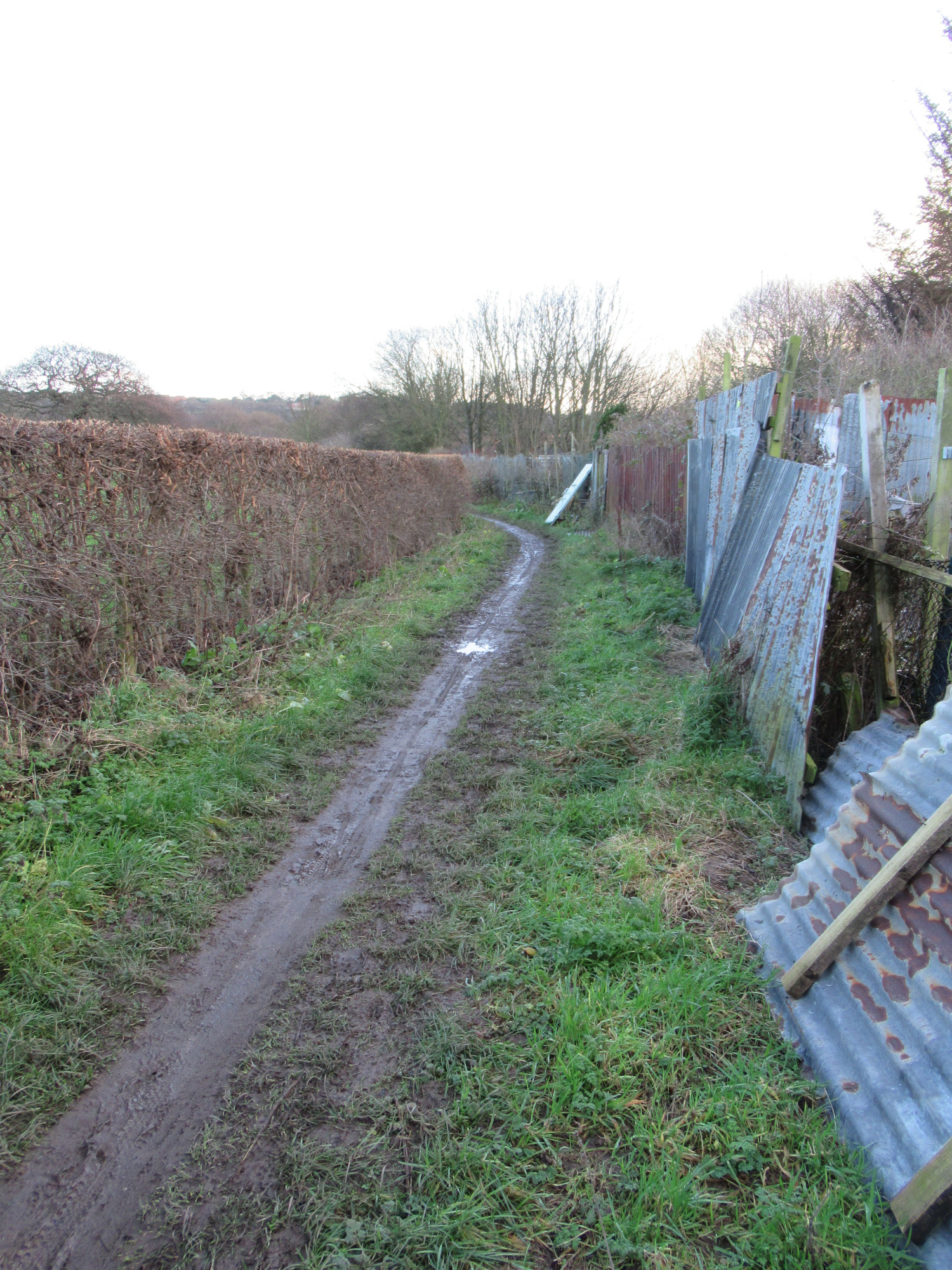
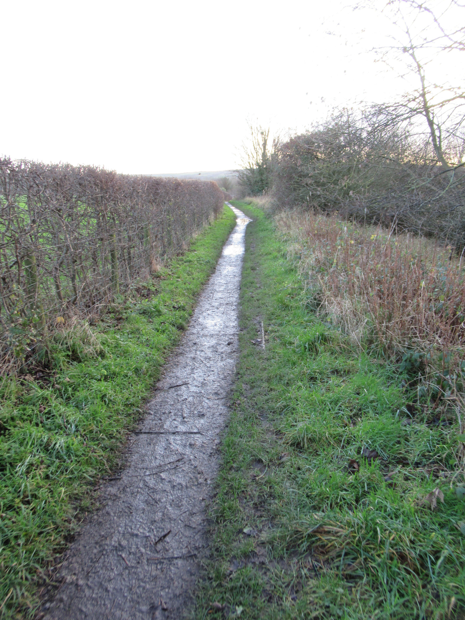
The Mayfield Road link path
To connect from Anchorage Way to Mayfield Road, via the old farm track, this would be a path of width 3m and of length 182m.