Project : Prospect Hill Line
Status : Proposal
The Cinder Track, as it currently stands, does not provide a way of reaching Whitby town centre without the need to cycle on roads. As recognised by the DfT LTN1/20 more than 70% of people would be unwilling to cycle on roads, and so a way of reaching the town centre away from vehicles is required. Some people arrive in Whitby on the Cinder Track and simply turn back, or dismount and walk when realising that the only option to get to the town centre by bike is via a (busy) road.
Given the widths of roads leading to the town centre, the most logical way of providing for this need is to develop the old Prospect Hill railway line route into an active travel route for people to reach the marina area. This was the subject of a study by Sustrans in 2017, funded by Gateway Whitby.
This is the key component of Whitby LCWIP Corridor 5.
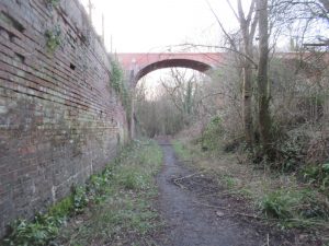
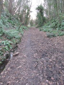
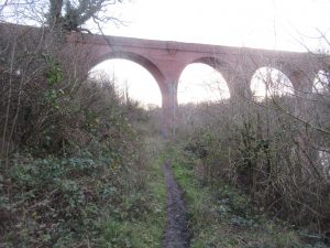
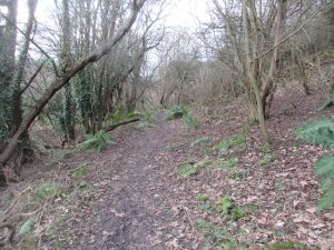
Route of the Prospect Hill Line railway
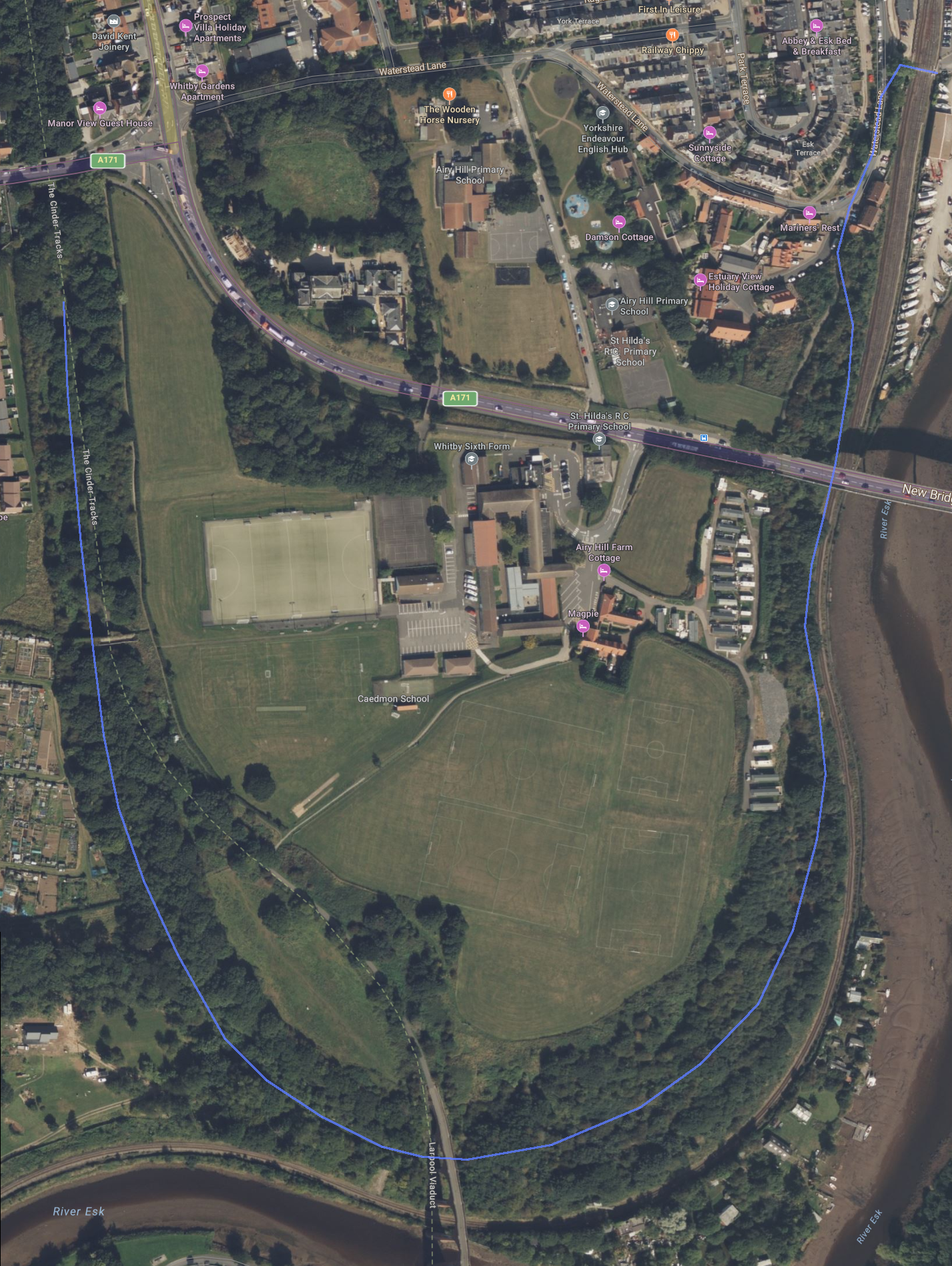
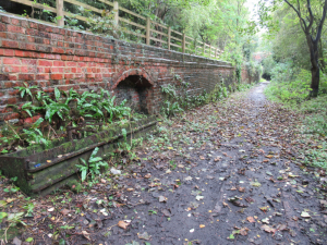
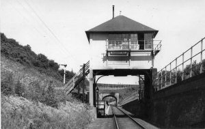
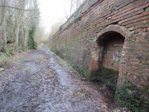
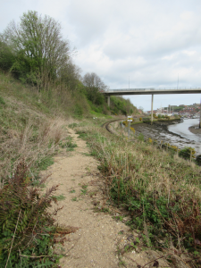
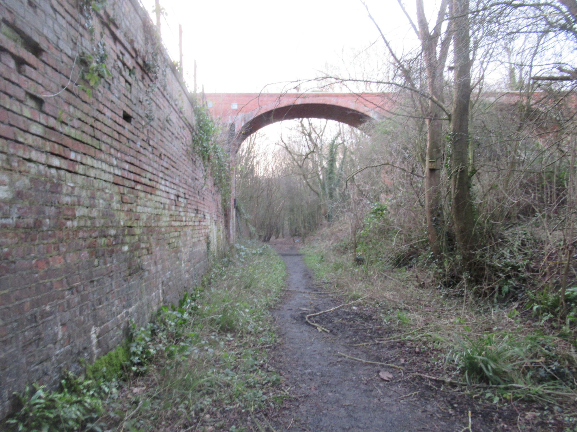
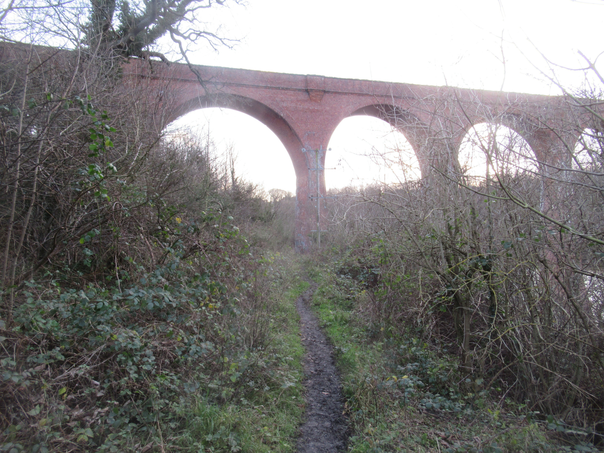
The markers on the map (above) highlight particular points where we have an image (below) showing the view from that position.
The Proposal
The proposal is to make use of the trackbed of the Prospect Hill Line railway and establish a multi-user path connecting Whitby Town Centre with Prospect Hill Junction on the Cinder Track. The proposal for this path aligns with the adopted Whitby Active Travel Plan / LCWIP, providing the key component for Corridor 5 (Whitby Town Centre to Ruswarp).
Once complete this project would be suitable for : Walking, Cycling, Wheeling, Scooting, Horse Riding.
Benefits of the Proposal
This proposed path would provide the following benefits.
- Traffic free, fully accessible, route between Cinder Track and Whitby town centre. The path would be a 1 in 50 gradient, and so easily manageable by most pedestrians, people on mobility devices, people on bikes, as well as horses.
- Eyecatching tourist attraction showcasing views of Whitby harbour, the River Esk, Larpool Viaduct and the Esk Valley.
- Open up the possibility of a traffic-free walking and cycle route up the Esk Valley, following the River Esk or railway, as well as connecting villages.
- Regeneration of part of the Whitby parish. The land on which the path would be provided has been left derelict since the removal of 2 railway lines in the 1960s.
- Improved connection to nature for residents. Provision of a path would facilitate addition of seats, and areas to enjoy the space.
Viability
The Prospect Hill line land is owned by various organisations.
- North Yorkshire Council (NYC) : own the section from the Cinder Track, down past the rear of Egremont House, and almost to the viaduct.
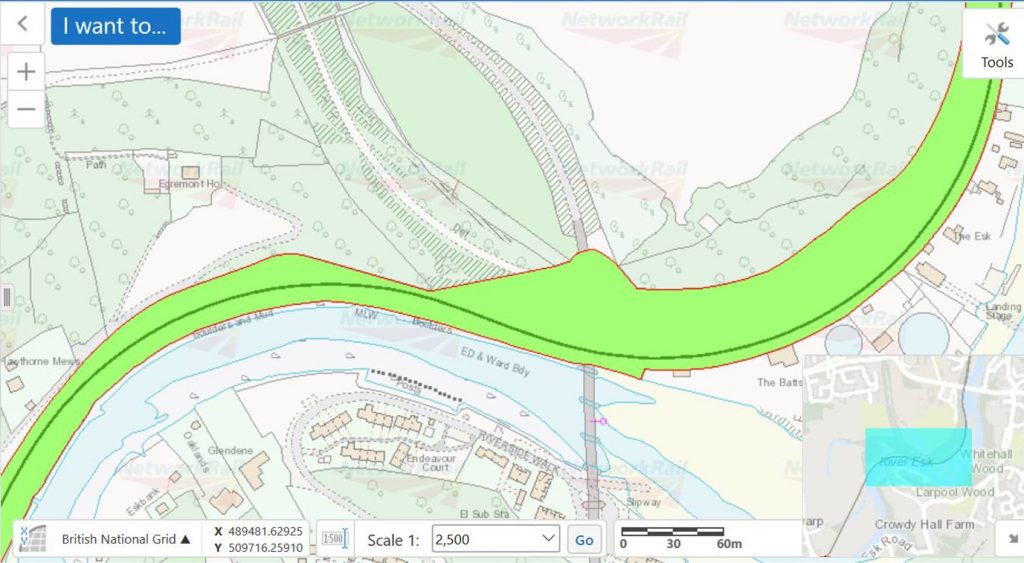
- Network Rail (NR) : own the section immediately below the viaduct, as well as the land below Whitby School around below Whitby New Bridge to where the line would need to connect to the road network.
- Whitby School (WS) : own the land immediately above where the Prospect Hill Line was located. This does not impact on provision of the route as such though, should it be deemed beneficial to put a pedestrian path in up to the top of the viaduct, this land would be of interest and need suitable permissions.
The subsequent image, from NR, shows the area owned by NR.
Design
This path was discussed in a report by Sustrans in 2017.
The path would be the order of 1500m in length, with either a 3m width (shared path), or as segregated pedestrian and cycle paths.